7-day forecast
Open-Meteo · trail point · local dates · last updated Nov 11, 2026, 3:10 PM PTThu 12
Rain
11°C / 8°C
100% · 16.3 mm
Wind 8 km/h
PoorFri 13
Light rain
13°C / 6°C
80% · 5.8 mm
Wind 9 km/h
PoorSat 14
Partly cloudy
8°C / 4°C
0% · 0.0 mm
Wind 7 km/h
GoodSun 15
Light rain
7°C / 3°C
57% · 0.9 mm
Wind 8 km/h
FairMon 16
Light rain
8°C / 6°C
60% · 4.0 mm
Wind 6 km/h
FairTue 17
Rain
11°C / 6°C
63% · 11.8 mm
Wind 9 km/h
FairWed 18
Rain
13°C / 8°C
70% · 68.9 mm
Wind 8 km/h
PoorRoute
No route line in this build. No OpenStreetMap route relation is linked for this trail.
About this trail
The Calà del Sasso is a path leading down from the village of Sasso di Asiago towards the town of Valstagna, province of Vicenza, north-eastern Italy. At 2,546 m (8,353 ft) long with 4,444 steps, it is the longest staircase in Italy as well as the world's longest staircase open to the public. The highest and lowest points on the path differ by 744 m (2,441 ft). Next to the staircase runs a gully. Both gully and steps are paved in limestone. The gully was used to transport timber from Sasso downhill. Once in Valstagna, Calà del Sasso ends near the river Brenta, where the logs were floated to Venice; here, in the times of the Republic of Venice, they were used in the local arsenal for the construction of boats.
From the Wikipedia article “Calà del Sasso”, CC BY-SA 4.0.
Trail facts
- Length
- 7 km · 4.3 mi (Wikidata)
- Countries
- Italy
- Continent
- Europe
- Trail point
- 45.86350, 11.63020 (Wikidata coordinate)
- Wikidata
- Q1027876
Hiked it?
Log this hikeAdd a GPX file for the Verified Track badge. The first and last 500 m are trimmed off before anything is measured, and the file itself is not kept.
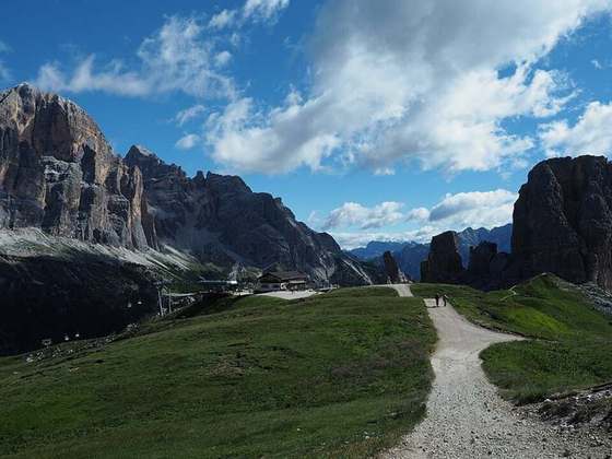
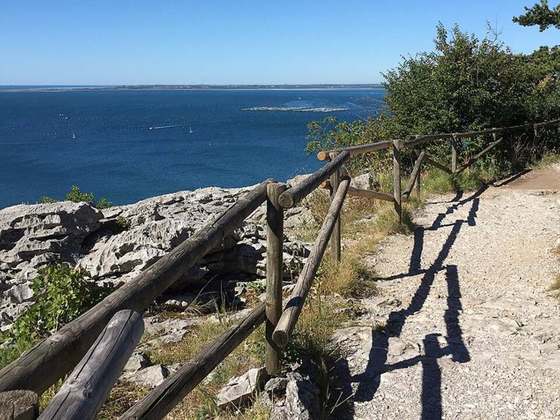
Photo: “Calà del Sasso.jpg” by fabryr, CC BY-SA 2.0, via Wikimedia Commons (resized).