Trails › North America › United States
Angels Landing Trail
7-day forecast
Open-Meteo · trail point · local dates · last updated Nov 11, 2026, 3:10 PM PTWed 11
Clear sky
19°C / 9°C
0% · 0.0 mm
Wind 23 km/h
GoodThu 12
Overcast
18°C / 10°C
1% · 0.0 mm
Wind 25 km/h
GoodFri 13
Light drizzle
14°C / 8°C
50% · 0.3 mm
Wind 23 km/h
FairSat 14
Rain showers
10°C / 5°C
97% · 6.4 mm
Wind 14 km/h
PoorSun 15
Overcast
12°C / 4°C
1% · 0.0 mm
Wind 13 km/h
GoodMon 16
Overcast
13°C / 6°C
41% · 0.0 mm
Wind 13 km/h
FairTue 17
Light drizzle
12°C / 8°C
80% · 0.9 mm
Wind 14 km/h
PoorRoute
Route line © OpenStreetMap contributors (ODbL), simplified. Dot: trail point.
About this trail
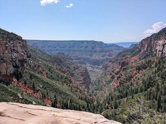
Angels Landing, known previously as the Temple of Aeolus, is a 1,488-foot (454 m) tall rock formation in Zion National Park in southwestern Utah, United States. A renowned trail cut into solid rock in 1926 leads to the top of Angels Landing and provides panoramic views of Zion Canyon.
From the Wikipedia article “Angels Landing”, CC BY-SA 4.0.
Trail facts
- Countries
- United States
- Continent
- North America
- Trail point
- 37.27158, -112.95002 (OpenStreetMap path midpoint (Nominatim))
- Operator (OSM)
- https://www.recreation.gov/permits/4675310
- Wikidata
- Q2563959
- OpenStreetMap
- way 14326868
Hiked it?
Log this hikeAdd a GPX file for the Verified Track badge. The first and last 500 m are trimmed off before anything is measured, and the file itself is not kept.
Photo: “Angels Landing - Zion Canyon.jpg” by Óðinn, CC BY-SA 2.5 ca, via Wikimedia Commons (resized).