Trails › North America › United States
Arizona Trail
7-day forecast
Open-Meteo · trail point · local dates · last updated Nov 11, 2026, 3:10 PM PTWed 11
Clear sky
14°C / 3°C
0% · 0.0 mm
Wind 25 km/h
GoodThu 12
Overcast
14°C / 4°C
1% · 0.0 mm
Wind 18 km/h
GoodFri 13
Overcast
13°C / 3°C
8% · 0.0 mm
Wind 31 km/h
GoodSat 14
Snow showers
9°C / 3°C
67% · 2.0 mm
Wind 48 km/h
FairSun 15
Overcast
9°C / 1°C
0% · 0.0 mm
Wind 17 km/h
GoodMon 16
Clear sky
12°C / 3°C
14% · 0.0 mm
Wind 16 km/h
GoodTue 17
Light drizzle
10°C / 5°C
53% · 0.9 mm
Wind 26 km/h
FairRoute
No route line in this build. This is a very long route, so only its start point is used.
About this trail
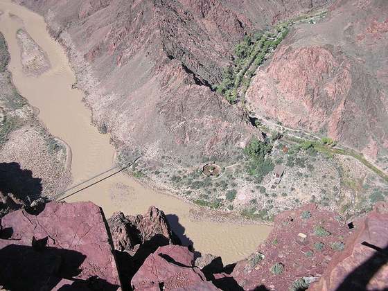
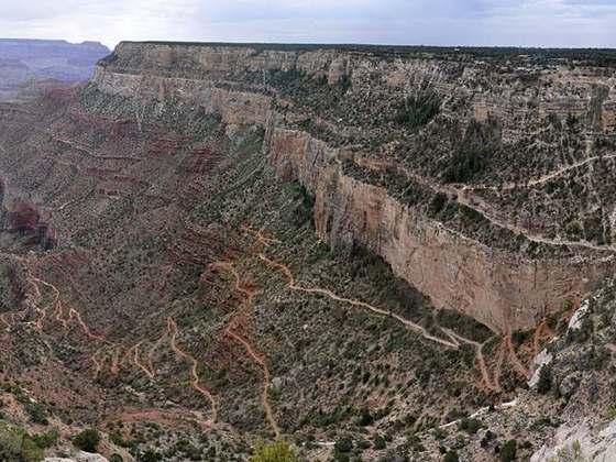
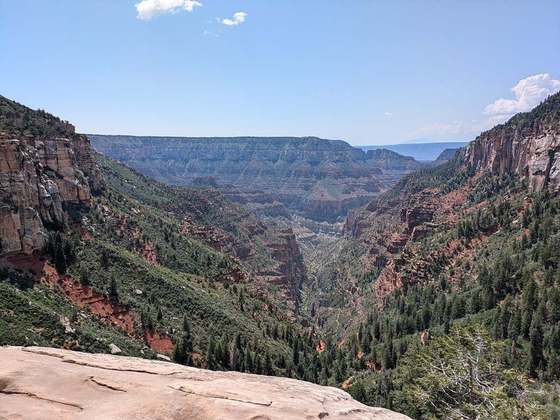
The Arizona National Scenic Trail (AZT) is a National Scenic Trail from Mexico to Utah that traverses the whole north–south length of the U.S. state of Arizona. The trail begins at the Coronado National Memorial near the US–Mexico border and moves north through parts of the Huachuca, Santa Rita, and Rincon Mountains. The trail continues through the Santa Catalina north of Tucson and the Mazatzal Mountains before ascending the Mogollon Rim north of Payson, and eventually leading to the higher elevations of Northern Arizona and the San Francisco Peaks. The trail then continues across the Coconino Plateau and in and out of the Grand Canyon. The Arizona Trail terminates near the Arizona–Utah border in the Kaibab Plateau region. The 800-mile (1,300 km) long Arizona Trail was completed on December 16, 2011. The trail is designed as a primitive trail for hiking, equestrians, mountain biking, and even cross country skiing, showcasing the wide variety of mountain ranges and ecosystems of Arizona.
From the Wikipedia article “Arizona Trail”, CC BY-SA 4.0.
Trail facts
- Length
- 1,288 km · 800 mi (Wikidata)
- Countries
- United States
- Continent
- North America
- Trail point
- 35.82410, -111.86900 (Wikidata coordinate)
- Wikidata
- Q4791456
- OpenStreetMap
- relation 2804113
Hiked it?
Log this hikeAdd a GPX file for the Verified Track badge. The first and last 500 m are trimmed off before anything is measured, and the file itself is not kept.
Photo: “Kentucky Camp Arizona 2014.jpeg” by The Old Pueblo, CC BY-SA 4.0, via Wikimedia Commons (resized).