Trails › North America › United States
North Kaibab Trail
7-day forecast
Open-Meteo · trail point · local dates · last updated Nov 11, 2026, 3:10 PM PTWed 11
Clear sky
11°C / 3°C
0% · 0.0 mm
Wind 28 km/h
GoodThu 12
Overcast
11°C / 4°C
1% · 0.0 mm
Wind 19 km/h
GoodFri 13
Overcast
9°C / 2°C
27% · 0.0 mm
Wind 19 km/h
GoodSat 14
Drizzle
4°C / -1°C
76% · 4.4 mm
Wind 24 km/h
PoorSun 15
Overcast
6°C / -2°C
0% · 0.0 mm
Wind 12 km/h
GoodMon 16
Mainly clear
7°C / -0°C
25% · 0.0 mm
Wind 9 km/h
GoodTue 17
Light drizzle
7°C / 1°C
68% · 0.9 mm
Wind 10 km/h
FairRoute
Route line © OpenStreetMap contributors (ODbL), simplified. Dot: trail point.
About this trail
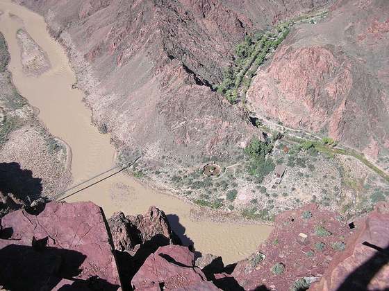
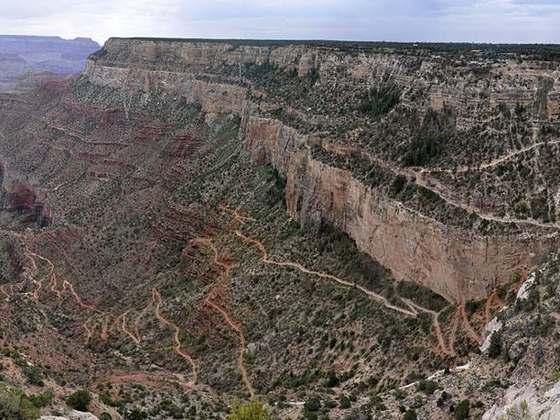
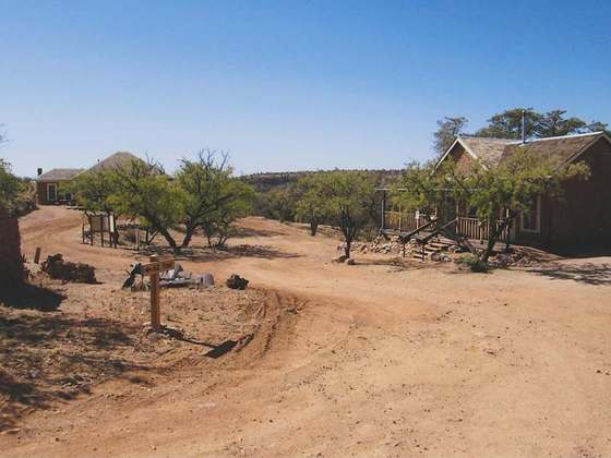
The North Kaibab Trail is a hiking trail in the North Rim side of the Grand Canyon, in Grand Canyon National Park, located in the U.S. state of Arizona.
From the Wikipedia article “North Kaibab Trail”, CC BY-SA 4.0.
Trail facts
- Length
- 23 km · 14 mi (Wikidata)
- Countries
- United States
- Continent
- North America
- Trail point
- 36.21710, -112.05600 (Wikidata coordinate)
- OSM network
- Local walking network
- Operator (OSM)
- United States National Park Service
- Wikidata
- Q7055746
- OpenStreetMap
- relation 2836789
Hiked it?
Log this hikeAdd a GPX file for the Verified Track badge. The first and last 500 m are trimmed off before anything is measured, and the file itself is not kept.
Photo: “Grand Canyon North Rim (22 July 2024) 2.jpg” by Buidhe, CC BY-SA 4.0, via Wikimedia Commons (resized).