Trails › North America › United States
Tahoe Rim Trail
7-day forecast
Open-Meteo · trail point · local dates · last updated Nov 11, 2026, 3:10 PM PTWed 11
Clear sky
16°C / -3°C
0% · 0.0 mm
Wind 17 km/h
GoodThu 12
Overcast
14°C / 2°C
1% · 0.0 mm
Wind 14 km/h
GoodFri 13
Heavy snow
6°C / -3°C
100% · 39.0 mm
Wind 26 km/h
PoorSat 14
Snow
2°C / -7°C
66% · 1.3 mm
Wind 10 km/h
FairSun 15
Fog
4°C / -4°C
61% · 0.0 mm
Wind 10 km/h
FairMon 16
Light snow
4°C / -1°C
74% · 0.4 mm
Wind 10 km/h
PoorTue 17
Heavy snow
2°C / 0°C
37% · 11.3 mm
Wind 4 km/h
FairRoute
Route line © OpenStreetMap contributors (ODbL), simplified. Dot: trail point.
About this trail
The Tahoe Rim Trail (TRT) is a 170-mile (274 km) long-distance hiking trail that forms a loop around the Lake Tahoe Basin in the Sierra Nevada and ranges of Nevada and California in the United States. The trail ranges in elevation from 6,223 feet at the outlet of Lake Tahoe to 10,338 feet at Relay Peak in Nevada. About 50 miles (80 km) of trail above the lake's west shore are also part of the national Pacific Crest Trail. Additionally, 96 miles of the trail along the east and south sides of the Lake Tahoe basin are designated as a National Recreation Trail.
From the Wikipedia article “Tahoe Rim Trail”, CC BY-SA 4.0.
Trail facts
- Length
- 265 km · 165 mi (Wikidata)
- Countries
- United States
- Continent
- North America
- Trail point
- 38.82605, -120.03878 (OpenStreetMap route (first mapped point))
- OSM network
- Regional walking network
- Operator (OSM)
- Tahoe Rim Trail Association
- Wikidata
- Q925069
- OpenStreetMap
- relation 3094865
- Official info
- tahoerimtrail.org
Hiked it?
Log this hikeAdd a GPX file for the Verified Track badge. The first and last 500 m are trimmed off before anything is measured, and the file itself is not kept.
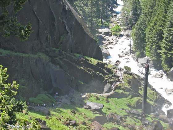
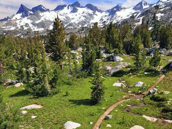
Photo: “Tahoe Rim Trail SL.jpg” by No machine-readable author provided. AT2663~commonswiki assumed (based on copyright claims)., CC BY-SA 3.0, via Wikimedia Commons (resized).