Trails › North America › United States
Mist Trail
7-day forecast
Open-Meteo · trail point · local dates · last updated Nov 11, 2026, 3:10 PM PTWed 11
Clear sky
20°C / 9°C
0% · 0.0 mm
Wind 19 km/h
GoodThu 12
Overcast
19°C / 9°C
2% · 0.0 mm
Wind 19 km/h
GoodFri 13
Violent showers
12°C / 4°C
100% · 29.0 mm
Wind 22 km/h
PoorSat 14
Light rain
11°C / 3°C
83% · 4.7 mm
Wind 11 km/h
PoorSun 15
Overcast
12°C / 4°C
32% · 0.0 mm
Wind 12 km/h
FairMon 16
Light drizzle
10°C / 5°C
78% · 0.1 mm
Wind 11 km/h
PoorTue 17
Light rain
8°C / 4°C
36% · 16.7 mm
Wind 4 km/h
FairRoute
Route line © OpenStreetMap contributors (ODbL), simplified. Dot: trail point.
About this trail
The Mist Trail is one of the most popular short hikes in Yosemite National Park, California, USA. The steep hike follows the Merced River, starting at Happy Isles in Yosemite Valley, past Vernal Fall and Emerald Pool, to Nevada Fall.
From the Wikipedia article “Mist Trail”, CC BY-SA 4.0.
Trail facts
- Countries
- United States
- Continent
- North America
- Trail point
- 37.72690, -119.54400 (Wikidata coordinate)
- OSM network
- Local walking network
- Wikidata
- Q6879984
- OpenStreetMap
- relation 6451906
Hiked it?
Log this hikeAdd a GPX file for the Verified Track badge. The first and last 500 m are trimmed off before anything is measured, and the file itself is not kept.
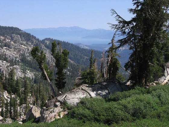
Photo: “Mist Trail along the Merced River. View west, looking down from the lip of Vernal Falls. - panoramio.jpg” by Richard Wood, CC BY-SA 3.0, via Wikimedia Commons (resized).