Trails › North America › United States
Colorado Trail
7-day forecast
Open-Meteo · trail point · local dates · last updated Nov 11, 2026, 3:10 PM PTWed 11
Partly cloudy
14°C / 2°C
0% · 0.0 mm
Wind 14 km/h
GoodThu 12
Overcast
14°C / 4°C
0% · 0.0 mm
Wind 11 km/h
GoodFri 13
Overcast
10°C / 3°C
36% · 0.0 mm
Wind 12 km/h
FairSat 14
Heavy rain
7°C / -0°C
96% · 13.9 mm
Wind 16 km/h
PoorSun 15
Overcast
7°C / -2°C
2% · 0.0 mm
Wind 11 km/h
GoodMon 16
Overcast
9°C / 0°C
4% · 0.0 mm
Wind 13 km/h
GoodTue 17
Clear sky
10°C / 0°C
73% · 0.0 mm
Wind 14 km/h
PoorRoute
No route line in this build. This is a very long route, so only its start point is used.
About this trail
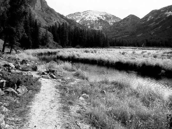
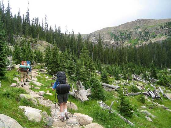
The Colorado Trail is a long-distance trail running for 486 miles (782 km) from the mouth of Waterton Canyon southwest of Denver to Durango in Colorado, United States. Its highest point is 13,271 feet (4,045 m) above sea level, and most of the trail is above 10,000 feet (3,000 m). Despite its high elevation, the trail often dips below the alpine timberline to provide refuge from the exposed, storm-prone regions above.
From the Wikipedia article “Colorado Trail”, CC BY-SA 4.0.
Trail facts
- Length
- 912 km · 567 mi (Wikidata)
- Countries
- United States
- Continent
- North America
- Trail point
- 37.35488, -107.92769 (OpenStreetMap route (first mapped point))
- OSM network
- Regional walking network
- Wikidata
- Q5148975
- OpenStreetMap
- relation 3445384
- Official info
- coloradotrail.org
Hiked it?
Log this hikeAdd a GPX file for the Verified Track badge. The first and last 500 m are trimmed off before anything is measured, and the file itself is not kept.