Trails › North America › United States
East Inlet Trail
7-day forecast
Open-Meteo · trail point · local dates · last updated Nov 11, 2026, 3:10 PM PTWed 11
Clear sky
10°C / -5°C
0% · 0.0 mm
Wind 10 km/h
GoodThu 12
Overcast
12°C / -2°C
0% · 0.0 mm
Wind 10 km/h
GoodFri 13
Overcast
12°C / -0°C
0% · 0.0 mm
Wind 7 km/h
GoodSat 14
Overcast
9°C / -2°C
53% · 0.0 mm
Wind 8 km/h
FairSun 15
Overcast
8°C / -3°C
50% · 0.0 mm
Wind 10 km/h
FairMon 16
Overcast
12°C / -2°C
0% · 0.0 mm
Wind 8 km/h
GoodTue 17
Clear sky
12°C / -1°C
30% · 0.0 mm
Wind 11 km/h
FairRoute
Route line © OpenStreetMap contributors (ODbL), simplified. Dot: trail point.
About this trail
The East Inlet Trail in Rocky Mountain National Park is a National Recreation Trail, first built in 1913 to provide access from Grand Lake to a series of lakes 6 miles (9.7 km) to the east of Grand Lake. The trail originates at the east stream inlet to Grand lake: confusingly, it is close to the west portal of the Alva B. Adams Tunnel which conveys water from the west side of the Continental Divide under the park to the east slope of the Rocky Mountains. The trail was developed further in the 1920s, but was still considered to be in poor condition. In the 1930s further improvements were made, and in 1934 workers from the Public Works Administration rebuilt the section between Lone Pine Lake and Lake Verna. In 1940 workers from the Civilian Conservation Corps improved three miles (4.8 km) of trail beyond Adam Falls, building causeway sections through swampy areas. The trail was rebuilt again in 1970, and was improved between 2000 and 2003 with stone steps and handrails at Adam Falls.
From the Wikipedia article “East Inlet Trail”, CC BY-SA 4.0.
Trail facts
- Countries
- United States
- Continent
- North America
- Trail point
- 40.23942, -105.79989 (Wikidata coordinate)
- OSM network
- Regional walking network
- Wikidata
- Q5328644
- OpenStreetMap
- relation 6747535
Hiked it?
Log this hikeAdd a GPX file for the Verified Track badge. The first and last 500 m are trimmed off before anything is measured, and the file itself is not kept.
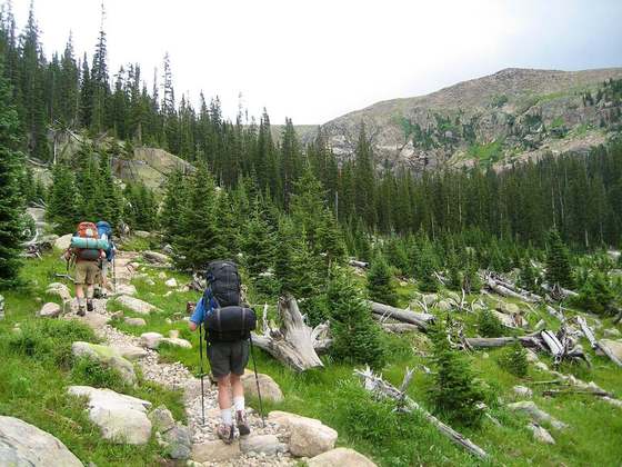
Photo: “East Inlet Trail.jpg” by Unknown authorUnknown author, Public domain, via Wikimedia Commons (resized).