Trails › North America › United States
Continental Divide Trail
7-day forecast
Open-Meteo · trail point · local dates · last updated Nov 11, 2026, 3:10 PM PTWed 11
Partly cloudy
19°C / 5°C
0% · 0.0 mm
Wind 15 km/h
GoodThu 12
Clear sky
20°C / 8°C
1% · 0.0 mm
Wind 19 km/h
GoodFri 13
Rain showers
19°C / 8°C
38% · 11.1 mm
Wind 28 km/h
FairSat 14
Drizzle
18°C / 12°C
20% · 0.8 mm
Wind 33 km/h
FairSun 15
Overcast
17°C / 10°C
1% · 0.0 mm
Wind 14 km/h
GoodMon 16
Clear sky
18°C / 10°C
0% · 0.0 mm
Wind 20 km/h
GoodTue 17
Partly cloudy
18°C / 10°C
13% · 0.0 mm
Wind 18 km/h
GoodRoute
No route line in this build. This is a very long route, so only its start point is used.
About this trail
The Continental Divide National Scenic Trail is a United States National Scenic Trail with a length measured by the Continental Divide Trail Coalition of 3,028 miles (4,873 km) between the U.S. border with Chihuahua, Mexico, and the border with Alberta, Canada. Frequent route changes and a large number of alternate routes result in an actual hiking distance of 2,700 miles (4,300 km) to 3,150 miles (5,070 km). The CDT follows the Continental Divide of the Americas along the Rocky Mountains and traverses five U.S. states — Montana, Idaho, Wyoming, Colorado, and New Mexico. In Montana near the Canadian border the trail crosses Triple Divide Pass.
From the Wikipedia article “Continental Divide Trail”, CC BY-SA 4.0.
Trail facts
- Length
- 5,000 km · 3,107 mi (Wikidata)
- Countries
- United States
- Continent
- North America
- Trail point
- 31.49704, -108.20866 (OpenStreetMap route (first mapped point))
- OSM network
- National walking network
- Wikidata
- Q492875
- OpenStreetMap
- relation 921198
- Official info
- continentaldividetrail.org
Hiked it?
Log this hikeAdd a GPX file for the Verified Track badge. The first and last 500 m are trimmed off before anything is measured, and the file itself is not kept.
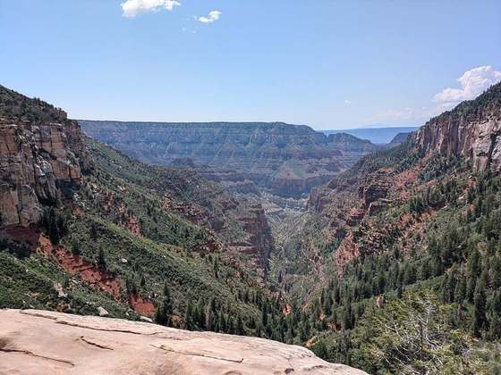
Photo: “Continental divide trail in Weminuche Wilderness.jpg” by Charlie DeTar, CC BY-SA 3.0, via Wikimedia Commons (resized).