Trails › North America › Canada
Dalton Trail
7-day forecast
Open-Meteo · trail point · local dates · last updated Nov 11, 2026, 3:10 PM PTWed 11
Rain showers
5°C / 3°C
100% · 25.1 mm
Wind 7 km/h
PoorThu 12
Drizzle
4°C / -1°C
99% · 2.7 mm
Wind 5 km/h
PoorFri 13
Light rain
2°C / -5°C
91% · 7.4 mm
Wind 3 km/h
PoorSat 14
Rain showers
5°C / -0°C
97% · 11.6 mm
Wind 3 km/h
PoorSun 15
Light drizzle
4°C / -0°C
82% · 2.9 mm
Wind 2 km/h
PoorMon 16
Light rain
4°C / 3°C
97% · 23.2 mm
Wind 7 km/h
PoorTue 17
Light rain
4°C / 3°C
86% · 24.8 mm
Wind 6 km/h
PoorRoute
No route line in this build. No OpenStreetMap route relation is linked for this trail.
About this trail
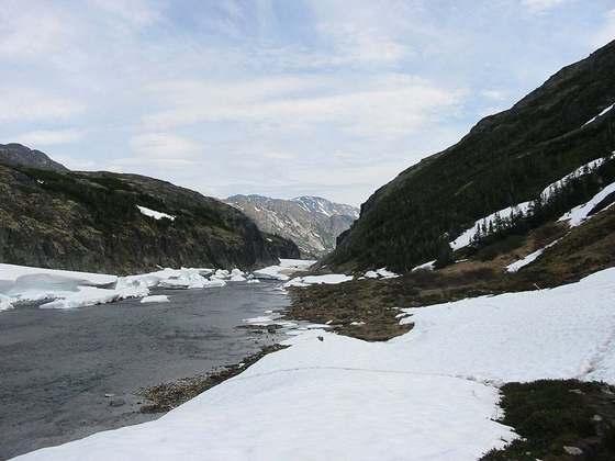
The Dalton Trail is a trail that runs between Pyramid Harbor, west of Haines, Alaska in the United States, and Fort Selkirk, in the Yukon Territory of Canada, using the Chilkat Pass. It is 396 km (246 mi) long.
From the Wikipedia article “Dalton Trail”, CC BY-SA 4.0.
Trail facts
- Length
- 396 km · 246 mi (Wikidata)
- Countries
- Canada, United States
- Continent
- North America
- Trail point
- 59.36417, -135.87000 (Wikidata coordinate)
- Wikidata
- Q3012566
Hiked it?
Log this hikeAdd a GPX file for the Verified Track badge. The first and last 500 m are trimmed off before anything is measured, and the file itself is not kept.