7-day forecast
Open-Meteo · trail point · local dates · last updated Nov 11, 2026, 3:10 PM PTThu 12
Light drizzle
24°C / 18°C
2% · 0.4 mm
Wind 17 km/h
FairFri 13
Heavy drizzle
23°C / 20°C
100% · 3.1 mm
Wind 22 km/h
PoorSat 14
Thunderstorm
25°C / 20°C
100% · 41.4 mm
Wind 26 km/h
PoorSun 15
Drizzle
24°C / 19°C
39% · 2.3 mm
Wind 9 km/h
FairMon 16
Rain showers
23°C / 20°C
57% · 31.2 mm
Wind 22 km/h
FairTue 17
Drizzle
24°C / 21°C
73% · 5.4 mm
Wind 14 km/h
PoorWed 18
Drizzle
22°C / 15°C
64% · 3.0 mm
Wind 21 km/h
FairRoute
Route line © OpenStreetMap contributors (ODbL), simplified. Dot: trail point.
About this trail
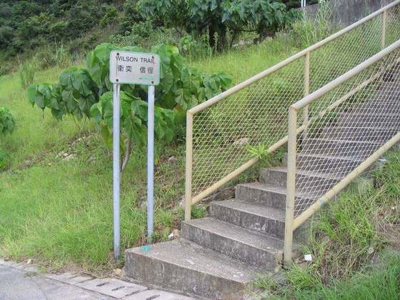
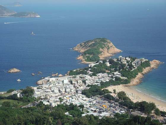
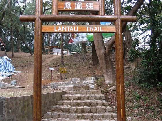
The Hong Kong Trail, opened in 1985, is a long-distance footpath from Victoria Peak to Big Wave Bay on Hong Kong Island. It is a 50-kilometre (31 mi) walking route which passes through the five country parks on Hong Kong island. The trail is extremely popular with local residents for its unique combination of well-marked paths through verdant woods that offer relief from the sun on sunny days, and featuring numerous streams and waterfalls. The trail offers a wide variety of terrain — it can be steep at some parts, flat at others, with both gradual ascents and descents. The trail takes a very indirect route; termination points Victoria Peak and Big Wave Bay are less than 11 km apart. Because the trail is composed of eight sections, much shorter runs or hikes are possible. The popular running path on Bowen Road connects to both Sections 3 and 4 via the steep ascent up the Wan Chai Gap Trail. The best detailed guidebook, which breaks down each of the eight sections with detailed notes, maps and photos, is The Serious Hikers Guide to Hong Kong (the book also outlines three other 50 km+ hiking trails in Hong Kong — the Wilson, the Maclehose, and the 70-km long trail that circumnavigates Lantau Island. In 2013, Hong Kong Trail was awarded the 10th best city hiking trail in the world by Lonely Planet.
From the Wikipedia article “Hong Kong Trail”, CC BY-SA 4.0.
Trail facts
- Length
- 50 km · 31 mi (Wikidata)
- Countries
- China
- Continent
- Asia
- Trail point
- 22.27125, 114.14953 (OpenStreetMap route (first mapped point))
- OSM network
- National walking network
- Operator (OSM)
- 漁農自然護理署 Agriculture, Fisheries and Conservation Department
- Wikidata
- Q849831
- OpenStreetMap
- relation 2919237
- Official info
- hkwalkers.net/longtrail/eng/hktrail/hktrail.html
Hiked it?
Log this hikeAdd a GPX file for the Verified Track badge. The first and last 500 m are trimmed off before anything is measured, and the file itself is not kept.