7-day forecast
Open-Meteo · trail point · local dates · last updated Nov 11, 2026, 3:10 PM PTThu 12
Overcast
23°C / 17°C
2% · 0.0 mm
Wind 16 km/h
GoodFri 13
Heavy drizzle
22°C / 19°C
100% · 2.7 mm
Wind 28 km/h
PoorSat 14
Thunderstorm
22°C / 17°C
100% · 40.9 mm
Wind 29 km/h
PoorSun 15
Light drizzle
24°C / 18°C
39% · 0.6 mm
Wind 15 km/h
FairMon 16
Rain showers
21°C / 19°C
57% · 33.6 mm
Wind 23 km/h
FairTue 17
Drizzle
23°C / 19°C
73% · 4.2 mm
Wind 16 km/h
PoorWed 18
Light drizzle
20°C / 15°C
64% · 2.4 mm
Wind 26 km/h
FairRoute
No route line in this build. This is a very long route, so only its start point is used.
About this trail
The Lantau Trail, opened on 4 December 1984, is a long-distance footpath on Lantau Island in the New Territories of Hong Kong. The 70 kilometres (43 mi) trail is a loop starting and finishing in the rural town of Mui Wo. It is the third longest trail in Hong Kong, after MacLehose Trail and Wilson Trail. The Lantau Trail has good visitor facilities along the way, and the route is well marked. There are information boards and maps at junctions between each stage. Distance posts around 500 metres apart help hikers know where they are. At each turning, route signs give instructions about directions, place names, and the distances and times for hiking between various locations.
From the Wikipedia article “Lantau Trail”, CC BY-SA 4.0.
Trail facts
- Length
- 70 km · 43 mi (Wikidata)
- Countries
- China
- Continent
- Asia
- Trail point
- 22.24950, 113.92800 (Wikidata coordinate)
- OSM network
- National walking network
- Operator (OSM)
- 漁農自然護理署 Agriculture, Fisheries and Conservation Department
- Wikidata
- Q548255
- OpenStreetMap
- relation 3971061
- Official info
- afcd.gov.hk/english/country/cou_vis/cou_vis.html
Hiked it?
Log this hikeAdd a GPX file for the Verified Track badge. The first and last 500 m are trimmed off before anything is measured, and the file itself is not kept.
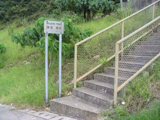
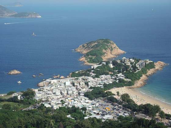
Photo: “Lantau Trail 1.jpg” by Minghong, CC BY-SA 4.0, via Wikimedia Commons (resized).