7-day forecast
Open-Meteo · trail point · local dates · last updated Nov 11, 2026, 3:10 PM PTThu 12
Partly cloudy
12°C / 3°C
0% · 0.0 mm
Wind 9 km/h
GoodFri 13
Overcast
16°C / 7°C
0% · 0.0 mm
Wind 11 km/h
GoodSat 14
Overcast
19°C / 11°C
0% · 0.0 mm
Wind 12 km/h
GoodSun 15
Overcast
19°C / 12°C
21% · 0.1 mm
Wind 11 km/h
GoodMon 16
Light rain
13°C / 4°C
89% · 14.9 mm
Wind 16 km/h
PoorTue 17
Light rain
6°C / 3°C
70% · 0.9 mm
Wind 9 km/h
PoorWed 18
Fog
7°C / 0°C
9% · 0.0 mm
Wind 7 km/h
GoodRoute
No route line in this build. This is a very long route, so only its start point is used.
About this trail
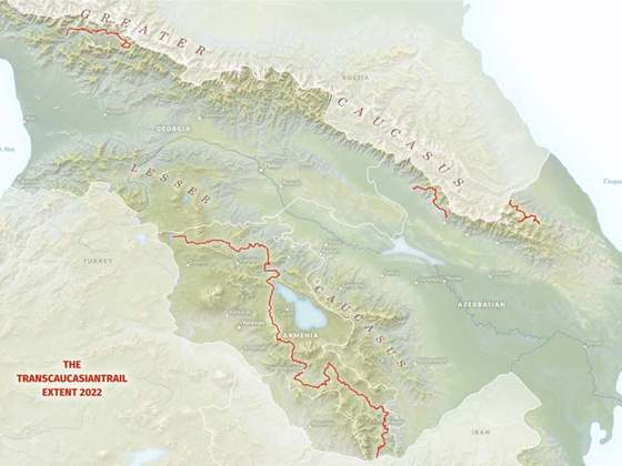
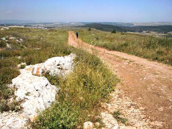
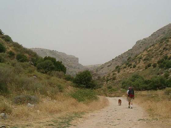
Janapar Trail was a marked trail through mountains, valleys, and villages of the region of Nagorno-Karabakh, which passed by monasteries and fortresses along its route. The trail consisted of several day hikes, taking hikers to a different village each night. Hikers could either stay with a village family or set up camp nearby. The paths have existed for centuries but markings were added in recent years specifically for hikers. Provided markers were blue with a yellow footprint. According to the trail's official website, much of the trail became impassable as a result of the 2020 Nagorno-Karabakh war, with only the Stepanakert to Patara and Kolotak to Gandzasar sections remaining traversable.
From the Wikipedia article “Janapar”, CC BY-SA 4.0.
Trail facts
- Countries
- Azerbaijan
- Continent
- Asia
- Trail point
- 39.51898, 47.02652 (OpenStreetMap route (first mapped point))
- OSM network
- National walking network
- Wikidata
- Q3072719
- OpenStreetMap
- relation 3668100
- Official info
- janapartrail.org
Hiked it?
Log this hikeAdd a GPX file for the Verified Track badge. The first and last 500 m are trimmed off before anything is measured, and the file itself is not kept.