7-day forecast
Open-Meteo · trail point · local dates · last updated Nov 11, 2026, 3:10 PM PTThu 12
Partly cloudy
15°C / 5°C
0% · 0.0 mm
Wind 8 km/h
GoodFri 13
Drizzle
17°C / 10°C
29% · 1.6 mm
Wind 7 km/h
FairSat 14
Overcast
19°C / 8°C
2% · 0.0 mm
Wind 8 km/h
GoodSun 15
Rain showers
16°C / 11°C
92% · 35.2 mm
Wind 8 km/h
PoorMon 16
Rain
16°C / 9°C
73% · 16.3 mm
Wind 16 km/h
PoorTue 17
Rain showers
19°C / 8°C
61% · 8.9 mm
Wind 12 km/h
FairWed 18
Rain showers
19°C / 8°C
88% · 18.0 mm
Wind 22 km/h
PoorRoute
No route line in this build. No OpenStreetMap route relation is linked for this trail.
About this trail
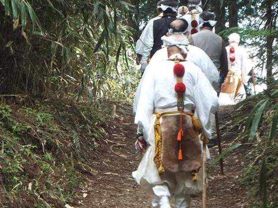
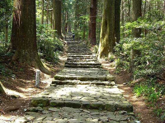
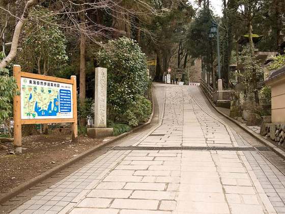
Kōyasan chōishi-michi (高野山町石道) is a pilgrimage route on the Kii Peninsula in the Kansai region of Japan. It begins at the Jison-in temple in the town of Kudoyama on the south bank of the Kinokawa River and extends twenty-four kilometres to Mount Kōya, or Kongōbu-ji Temple, the ecclesiastical headquarters of the Kōyasan sect of Shingon Buddhism in the town of Kōya. The path is a National Historic Site and is also part of the UNESCO World Heritage Site: Sacred Sites and Pilgrimage Routes in the Kii Mountain Range. The area is also within the Kōyasan Chōishi-michi Tamagawa Prefectural Park (高野山町石道玉川峡県立自然公園).
From the Wikipedia article “Kōyasan chōishi-michi”, CC BY-SA 4.0.
Trail facts
Hiked it?
Log this hikeAdd a GPX file for the Verified Track badge. The first and last 500 m are trimmed off before anything is measured, and the file itself is not kept.
Photo: “Koyasan Choishimichi1.jpg” by KENPEI, CC BY-SA 3.0, via Wikimedia Commons (resized).