7-day forecast
Open-Meteo · trail point · local dates · last updated Nov 11, 2026, 3:10 PM PTThu 12
Partly cloudy
18°C / 8°C
0% · 0.0 mm
Wind 7 km/h
GoodFri 13
Light drizzle
19°C / 11°C
33% · 0.2 mm
Wind 6 km/h
FairSat 14
Light rain
20°C / 11°C
2% · 1.5 mm
Wind 6 km/h
FairSun 15
Rain
17°C / 12°C
84% · 19.2 mm
Wind 8 km/h
PoorMon 16
Rain
22°C / 12°C
75% · 15.8 mm
Wind 23 km/h
PoorTue 17
Rain showers
17°C / 10°C
89% · 43.5 mm
Wind 24 km/h
PoorWed 18
Thunderstorm
22°C / 13°C
96% · 28.2 mm
Wind 20 km/h
PoorRoute
No route line in this build. This is a very long route, so only its start point is used.
About this trail
The Kumano Kodō (熊野古道) is a series of ancient pilgrimage routes that crisscross the Kii Peninsula, the largest peninsula of Japan. These mountainous trails are used by pilgrims to the "Kumano Sanzan" (熊野三山) - the Three Grand Shrines of Kumano: Kumano Hongū Taisha (熊野本宮大社), Kumano Nachi Taisha (熊野那智大社) and Kumano Hayatama Taisha (熊野速玉大社). These three shrines are the holiest sites of the ancient syncretic Kumano religion.
From the Wikipedia article “Kumano Kodō”, CC BY-SA 4.0.
Trail facts
- Countries
- Japan
- Continent
- Asia
- Trail point
- 34.45246, 136.72130 (Wikidata coordinate)
- Wikidata
- Q17050475
- OpenStreetMap
- relation 17094647
Hiked it?
Log this hikeAdd a GPX file for the Verified Track badge. The first and last 500 m are trimmed off before anything is measured, and the file itself is not kept.
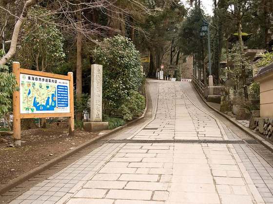
Photo: “Daimonzaka28-640.jpg” by 663highland, CC BY 2.5, via Wikimedia Commons (resized).