7-day forecast
Open-Meteo · trail point · local dates · last updated Nov 11, 2026, 3:10 PM PTThu 12
Partly cloudy
8°C / -2°C
0% · 0.0 mm
Wind 6 km/h
GoodFri 13
Light drizzle
9°C / 1°C
59% · 0.4 mm
Wind 8 km/h
FairSat 14
Overcast
10°C / 2°C
2% · 0.0 mm
Wind 6 km/h
GoodSun 15
Rain showers
8°C / 4°C
94% · 26.0 mm
Wind 10 km/h
PoorMon 16
Rain
7°C / -0°C
80% · 17.8 mm
Wind 18 km/h
PoorTue 17
Rain showers
9°C / -0°C
95% · 7.2 mm
Wind 11 km/h
PoorWed 18
Rain showers
12°C / -0°C
97% · 17.0 mm
Wind 22 km/h
PoorRoute
No route line in this build. No OpenStreetMap route relation is linked for this trail.
About this trail
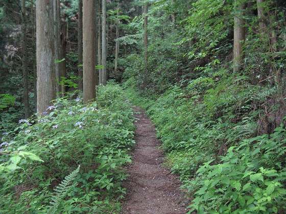
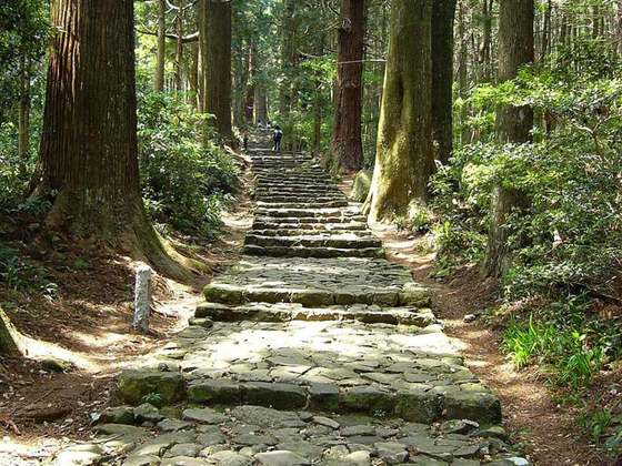
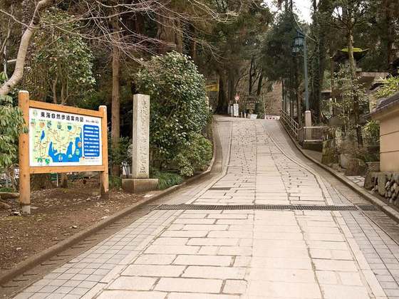
The Ōmine Okugakemichi is a pilgrimage route on the Kii Peninsula in the Kansai region of Japan. It begins in Yanagi-no-shuku, a former ferry station on the Yoshino River in Nara prefecture, leads through the 1200-1900 meter Ōmine mountain region of Yoshino and Kumano in Wakayama Prefecture and ends after about 170 kilometers at the Kumano Hongū Taisha.
From the Wikipedia article “Ōmine Okugakemichi”, CC BY-SA 4.0.
Trail facts
Hiked it?
Log this hikeAdd a GPX file for the Verified Track badge. The first and last 500 m are trimmed off before anything is measured, and the file itself is not kept.
Photo: “Yamabushi-Omini-Okugakemichi-Yoshino.jpg” by WolfgangMichel, CC0, via Wikimedia Commons (resized).