7-day forecast
Open-Meteo · trail point · local dates · last updated Nov 11, 2026, 3:10 PM PTThu 12
Rain showers
18°C / 15°C
28% · 0.7 mm
Wind 6 km/h
FairFri 13
Overcast
20°C / 16°C
18% · 0.1 mm
Wind 13 km/h
GoodSat 14
Light rain
19°C / 15°C
40% · 1.6 mm
Wind 7 km/h
FairSun 15
Overcast
20°C / 14°C
0% · 0.0 mm
Wind 8 km/h
GoodMon 16
Mainly clear
18°C / 13°C
0% · 0.0 mm
Wind 7 km/h
GoodTue 17
Rain showers
19°C / 12°C
5% · 1.4 mm
Wind 8 km/h
FairWed 18
Rain showers
18°C / 13°C
5% · 9.4 mm
Wind 5 km/h
FairRoute
No route line in this build. This is a very long route, so only its start point is used.
About this trail
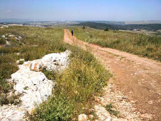
The Lycian Way is a marked long-distance hiking trail in southwestern Turkey around part of the coast of ancient Lycia. It is approximately 760 km (470 mi) in length and stretches from Hisarönü (Ovacık), near Fethiye, to Aşağı Karaman in Konyaaltı, about 20 km (12 mi) from Antalya. It is waymarked with red and white stripes of the GR footpath convention.
From the Wikipedia article “Lycian Way”, CC BY-SA 4.0.
Trail facts
- Length
- 509 km · 316 mi (Wikidata)
- Countries
- Turkey
- Continent
- Asia
- Trail point
- 36.56677, 29.13942 (Wikidata coordinate)
- Wikidata
- Q1731039
- OpenStreetMap
- relation 51855
- Official info
- cultureroutesinturkey.com
Hiked it?
Log this hikeAdd a GPX file for the Verified Track badge. The first and last 500 m are trimmed off before anything is measured, and the file itself is not kept.
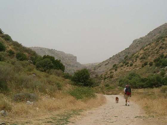
Photo: “Ликийская тропа около Олюдениза.jpg” by Exelentz, CC BY-SA 4.0, via Wikimedia Commons (resized).