Trails › North America › United States
Metacomet-Monadnock Trail
7-day forecast
Open-Meteo · trail point · local dates · last updated Nov 11, 2026, 3:10 PM PTWed 11
Overcast
12°C / 6°C
13% · 0.0 mm
Wind 22 km/h
GoodThu 12
Rain
6°C / 3°C
93% · 19.7 mm
Wind 19 km/h
PoorFri 13
Light snow
3°C / 0°C
97% · 4.8 mm
Wind 19 km/h
PoorSat 14
Light snow
3°C / -3°C
9% · 1.1 mm
Wind 15 km/h
FairSun 15
Overcast
4°C / -3°C
1% · 0.0 mm
Wind 17 km/h
GoodMon 16
Overcast
8°C / -2°C
0% · 0.0 mm
Wind 11 km/h
GoodTue 17
Clear sky
8°C / -4°C
0% · 0.0 mm
Wind 6 km/h
GoodRoute
Route line © OpenStreetMap contributors (ODbL), simplified. Dot: trail point.
About this trail
The Metacomet-Monadnock Trail is a 114-mile-long (183 km) hiking trail that traverses the Metacomet Ridge of the Pioneer Valley region of Massachusetts and the central uplands of Massachusetts and southern New Hampshire. Although less than 70 miles (110 km) from Boston and other large population centers, the trail is considered remarkably rural and scenic and includes many areas of unique ecologic, historic, and geologic interest. Notable features include waterfalls, dramatic cliff faces, exposed mountain summits, woodlands, swamps, lakes, river floodplain, farmland, significant historic sites, and the summits of Mount Monadnock, Mount Tom and Mount Holyoke. The Metacomet-Monadnock Trail is maintained largely through the efforts of the Western Massachusetts Chapter of the Appalachian Mountain Club (AMC). Much of the trail is a portion of the New England National Scenic Trail.
From the Wikipedia article “Metacomet-Monadnock Trail”, CC BY-SA 4.0.
Trail facts
- Length
- 177 km · 110 mi (Wikidata)
- Countries
- United States
- Continent
- North America
- Trail point
- 42.55000, -72.45000 (Wikidata coordinate)
- OSM network
- Regional walking network
- Wikidata
- Q1924738
- OpenStreetMap
- relation 2317544
Hiked it?
Log this hikeAdd a GPX file for the Verified Track badge. The first and last 500 m are trimmed off before anything is measured, and the file itself is not kept.
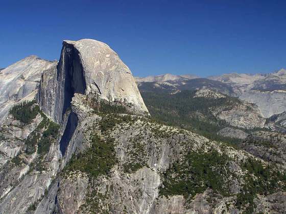
Photo: “Mount Tom Massachusetts.jpg” by 5ju989nfhs50 at English Wikipedia, CC BY 3.0, via Wikimedia Commons (resized).