Trails › North America › United States
New England National Scenic Trail
7-day forecast
Open-Meteo · trail point · local dates · last updated Nov 11, 2026, 3:10 PM PTWed 11
Overcast
15°C / 5°C
6% · 0.0 mm
Wind 12 km/h
GoodThu 12
Heavy drizzle
11°C / 5°C
90% · 3.7 mm
Wind 24 km/h
PoorFri 13
Snow
7°C / 3°C
88% · 17.6 mm
Wind 25 km/h
PoorSat 14
Fog
6°C / 2°C
34% · 0.0 mm
Wind 17 km/h
FairSun 15
Overcast
8°C / 2°C
0% · 0.0 mm
Wind 16 km/h
GoodMon 16
Clear sky
10°C / 2°C
0% · 0.0 mm
Wind 11 km/h
GoodTue 17
Clear sky
10°C / 2°C
0% · 0.0 mm
Wind 8 km/h
GoodRoute
No route line in this build. This is a very long route, so only its start point is used.
About this trail
The New England National Scenic Trail (NET) is a National Scenic Trail in southern New England, which includes most of the three single trails Metacomet-Monadnock Trail, Mattabesett Trail and Metacomet Trail. After the Metacomet-Monadnock-Mattabesett trail system, the trail is sometimes called the Triple-M Trail. The 215-mile (346 km) route extends through 41 communities from Guilford, Connecticut, at Long Island Sound over the Metacomet Ridge, through the highlands of the Pioneer Valley of Massachusetts, to the New Hampshire state border. (The remainder of the M-M Trail to the summit of Mount Monadnock in southern New Hampshire is not included in the designation.) This includes a now (2013) complete connector trail (the Menunkatuck Trail) from the southernmost location of the Mattabesett Trail (in northern Guilford, Connecticut) to the sea (Long Island Sound) and a deviation of the Metacomet-Monadnock Trail in Massachusetts, to lead the trail through state-owned land instead of largely unprotected land.
From the Wikipedia article “New England National Scenic Trail”, CC BY-SA 4.0.
Trail facts
- Length
- 377 km · 234 mi (Wikidata)
- Countries
- United States
- Continent
- North America
- Trail point
- 41.60334, -72.81771 (OpenStreetMap route (first mapped point))
- OSM network
- National walking network
- Wikidata
- Q7007323
- OpenStreetMap
- relation 3672563
- Official info
- nps.gov/neen/index.htm
Hiked it?
Log this hikeAdd a GPX file for the Verified Track badge. The first and last 500 m are trimmed off before anything is measured, and the file itself is not kept.
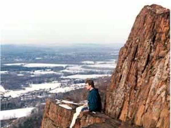
Photo: “Mount Norwottuck.JPG” by Ericshawwhite, CC BY-SA 3.0, via Wikimedia Commons (resized).