7-day forecast
Open-Meteo · trail point · local dates · last updated Nov 11, 2026, 3:10 PM PTWed 11
Drizzle
7°C / 3°C
98% · 0.8 mm
Wind 28 km/h
PoorThu 12
Heavy drizzle
7°C / 4°C
92% · 5.3 mm
Wind 36 km/h
PoorFri 13
Light drizzle
7°C / 2°C
6% · 0.2 mm
Wind 24 km/h
FairSat 14
Drizzle
8°C / 6°C
36% · 2.7 mm
Wind 27 km/h
FairSun 15
Light rain
6°C / 4°C
76% · 23.9 mm
Wind 29 km/h
PoorMon 16
Drizzle
5°C / 3°C
77% · 8.1 mm
Wind 29 km/h
PoorTue 17
Light drizzle
3°C / 0°C
35% · 1.3 mm
Wind 25 km/h
FairRoute
Route line © OpenStreetMap contributors (ODbL), simplified. Dot: trail point.
About this trail
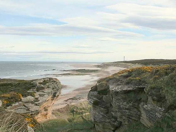
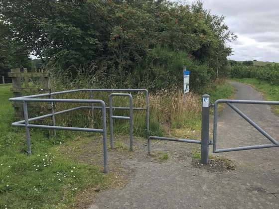
The Speyside Way is a long-distance path in the Scottish Highlands. The route begins in Buckie and ends at Newtonmore,137 kilometres (85 mi) away. There is an optional spur leading off the main route to Tomintoul, adding 25 kilometres (16 mi) and 865 metres (2,838 ft) of ascent.
From the Wikipedia article “Speyside Way”, CC BY-SA 4.0.
Trail facts
- Length
- 136 km · 85 mi (Wikidata)
- Countries
- United Kingdom
- Continent
- Europe
- Trail point
- 57.66809, -3.07181 (OpenStreetMap route (first mapped point))
- OSM network
- National walking network
- Wikidata
- Q285344
- OpenStreetMap
- relation 1026251
- Official info
- speysideway.org
Hiked it?
Log this hikeAdd a GPX file for the Verified Track badge. The first and last 500 m are trimmed off before anything is measured, and the file itself is not kept.
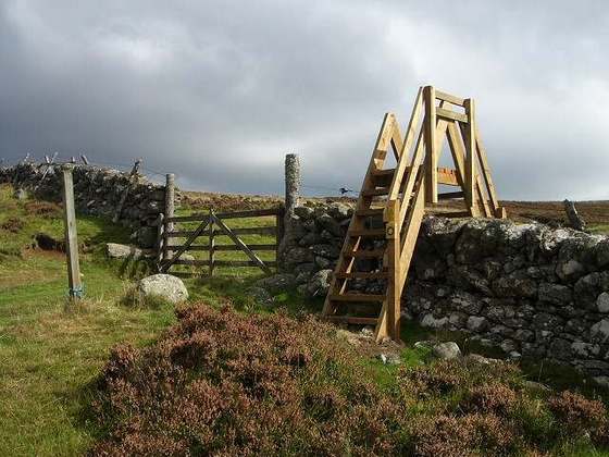
Photo: “Speyside Way.JPG” by Blazine, CC BY-SA 4.0, via Wikimedia Commons (resized).