7-day forecast
Open-Meteo · trail point · local dates · last updated Nov 11, 2026, 3:10 PM PTThu 12
Heavy drizzle
11°C / 5°C
100% · 9.0 mm
Wind 23 km/h
PoorFri 13
Fog
12°C / 4°C
0% · 0.0 mm
Wind 17 km/h
GoodSat 14
Fog
18°C / 3°C
4% · 0.0 mm
Wind 11 km/h
GoodSun 15
Light drizzle
11°C / 4°C
59% · 0.6 mm
Wind 20 km/h
FairMon 16
Rain
12°C / 7°C
98% · 66.0 mm
Wind 20 km/h
PoorTue 17
Fog
14°C / 6°C
44% · 0.0 mm
Wind 16 km/h
FairWed 18
Heavy drizzle
13°C / 5°C
51% · 7.2 mm
Wind 15 km/h
FairRoute
No route line in this build. No OpenStreetMap route relation is linked for this trail.
About this trail
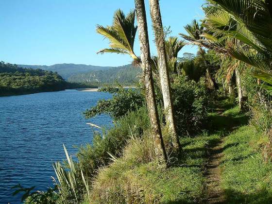
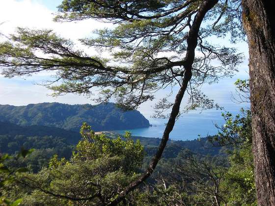
The Wangapeka Track is a tramping track in the north-west of the South Island of New Zealand. It is one of the main tramping tracks in the Kahurangi National Park, a protected area managed by the Department of Conservation. The route traverses the southern end of the park from the historic Wangapeka goldfields area west of Tapawera to the coastal plains of the West Coast at Little Wanganui. The route is 59 km (37 mi) long and crosses the Wangapeka and Little Wanganui saddles, each over 1,000 m (3,300 ft) in elevation. The track passes through the valleys of the Wangapeka River, Karamea River, Taipō River and Little Wanganui River. The majority of the track is in river valleys and under forest cover, with small sections in tussock land at Stag Flat and the Little Wanganui Saddle. It typically takes walkers 4–6 days to complete the route.
From the Wikipedia article “Wangapeka Track”, CC BY-SA 4.0.
Trail facts
- Countries
- New Zealand
- Continent
- Oceania
- Trail point
- -41.43333, 172.41667 (Wikidata coordinate)
- Wikidata
- Q49170485
Hiked it?
Log this hikeAdd a GPX file for the Verified Track badge. The first and last 500 m are trimmed off before anything is measured, and the file itself is not kept.
Photo: “Swing bridge across Wangapeka River close to Stone Hut, Wangapeka Track, Kahurangi, New Zealand.jpg” by Michal Klajban, CC BY-SA 4.0, via Wikimedia Commons (resized).