7-day forecast
Open-Meteo · trail point · local dates · last updated Nov 11, 2026, 3:10 PM PTThu 12
Drizzle
19°C / 11°C
100% · 8.9 mm
Wind 20 km/h
PoorFri 13
Fog
20°C / 8°C
0% · 0.0 mm
Wind 16 km/h
GoodSat 14
Overcast
21°C / 7°C
2% · 0.0 mm
Wind 10 km/h
GoodSun 15
Drizzle
17°C / 9°C
58% · 1.0 mm
Wind 19 km/h
FairMon 16
Violent showers
17°C / 13°C
98% · 127.6 mm
Wind 9 km/h
PoorTue 17
Light drizzle
21°C / 11°C
45% · 0.4 mm
Wind 16 km/h
FairWed 18
Rain showers
22°C / 12°C
47% · 13.4 mm
Wind 12 km/h
FairRoute
Route line © OpenStreetMap contributors (ODbL), simplified. Dot: trail point.
About this trail
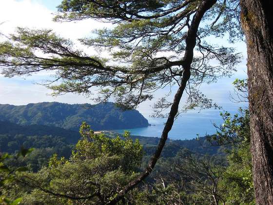
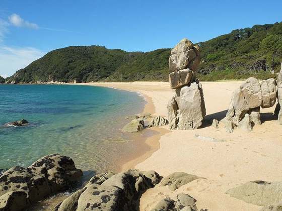
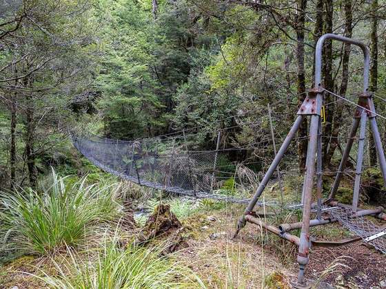
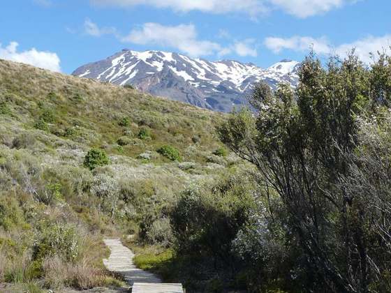
The Heaphy Track is a popular tramping and mountain biking track in the north west of the South Island of New Zealand. It is located within the Kahurangi National Park and classified as one of New Zealand's ten Great Walks by the Department of Conservation. Named after Charles Heaphy, the track is 78.4 kilometres (48.7 mi) long and is usually walked in four or five days. The track is open for shared use with mountain bikers in the winter season from 1 May to 30 September each year. The southern end of the track is at Kōhaihai, north of Karamea on the northern West Coast, and the northern end is in the upper valley of the Aorere River, Golden Bay.
From the Wikipedia article “Heaphy Track”, CC BY-SA 4.0.
Trail facts
- Length
- 78 km · 49 mi (OpenStreetMap distance tag)
- Countries
- New Zealand
- Continent
- Oceania
- Trail point
- -40.85043, 172.44732 (Wikidata coordinate)
- OSM network
- National walking network
- Wikidata
- Q1592359
- OpenStreetMap
- relation 1385145
- Official info
- doc.govt.nz/heaphytrack
Hiked it?
Log this hikeAdd a GPX file for the Verified Track badge. The first and last 500 m are trimmed off before anything is measured, and the file itself is not kept.
Photo: “HeaphyRiver.jpg” by This picture was taken by Pierre Lavaurs, Public domain, via Wikimedia Commons (resized).