7-day forecast
Open-Meteo · trail point · local dates · last updated Nov 11, 2026, 3:10 PM PTThu 12
Light drizzle
22°C / 12°C
67% · 0.9 mm
Wind 18 km/h
FairFri 13
Partly cloudy
19°C / 9°C
0% · 0.0 mm
Wind 12 km/h
GoodSat 14
Overcast
20°C / 10°C
0% · 0.0 mm
Wind 9 km/h
GoodSun 15
Fog
19°C / 9°C
4% · 0.0 mm
Wind 26 km/h
GoodMon 16
Rain showers
17°C / 14°C
82% · 47.4 mm
Wind 24 km/h
PoorTue 17
Light drizzle
21°C / 14°C
43% · 0.4 mm
Wind 16 km/h
FairWed 18
Rain showers
19°C / 12°C
36% · 15.2 mm
Wind 7 km/h
FairRoute
Route line © OpenStreetMap contributors (ODbL), simplified. Dot: trail point.
About this trail
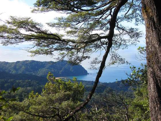
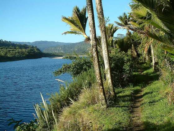
The Abel Tasman Coast Track is a 60 kilometres (37 mi) long walking track within the Abel Tasman National Park in New Zealand. It extends from Mārahau in the south to Wainui in the north, with many side tracks. It is one of two main tracks through the park, the other being the Abel Tasman Inland Track, which stretches for 38 km between Tinline Bay and Torrent Bay off the main coastal track. The coastal track is well sheltered, and with mild weather in all seasons, it is accessible and open throughout the year.
From the Wikipedia article “Abel Tasman Coast Track”, CC BY-SA 4.0.
Trail facts
- Length
- 60 km · 37 mi (OpenStreetMap distance tag)
- Countries
- New Zealand
- Continent
- Oceania
- Trail point
- -40.92880, 173.04860 (Wikidata coordinate)
- OSM network
- National walking network
- Operator (OSM)
- Department of Conservation
- Wikidata
- Q318501
- OpenStreetMap
- relation 5987159
- Official info
- doc.govt.nz/parks-and-recreation/places-to-go/ne
Hiked it?
Log this hikeAdd a GPX file for the Verified Track badge. The first and last 500 m are trimmed off before anything is measured, and the file itself is not kept.
Photo: “Rock stacks in Anapai Bay.jpg” by Pseudopanax at English Wikipedia, CC BY 3.0, via Wikimedia Commons (resized).