Trails › North America › Canada
Bruce Trail
7-day forecast
Open-Meteo · trail point · local dates · last updated Nov 11, 2026, 3:10 PM PTWed 11
Overcast
10°C / 2°C
31% · 0.0 mm
Wind 10 km/h
FairThu 12
Heavy drizzle
6°C / -0°C
53% · 4.2 mm
Wind 24 km/h
FairFri 13
Snow
3°C / -3°C
7% · 1.1 mm
Wind 17 km/h
FairSat 14
Overcast
5°C / -3°C
3% · 0.0 mm
Wind 23 km/h
GoodSun 15
Overcast
6°C / -0°C
4% · 0.0 mm
Wind 18 km/h
GoodMon 16
Overcast
6°C / 3°C
4% · 0.0 mm
Wind 9 km/h
GoodTue 17
Overcast
9°C / 0°C
0% · 0.0 mm
Wind 12 km/h
GoodRoute
No route line in this build. This is a very long route, so only its start point is used.
About this trail
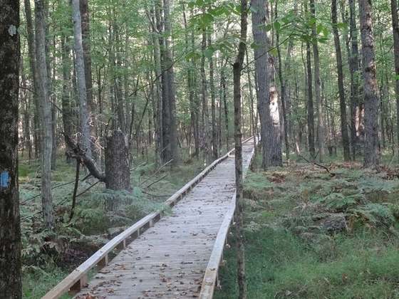
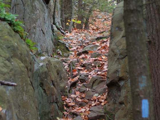
The Bruce Trail is a hiking trail in southern Ontario, Canada, from the Niagara River to the tip of Tobermory, Ontario. The main trail is more than 890 km (550 mi) long and there are over 400 km (250 mi) of associated side trails. The trail mostly follows the edge of the Niagara Escarpment, one of the nineteen UNESCO World Biosphere Reserves in Canada. The land the trail traverses is owned by the Government of Ontario, local municipalities, local conservation authorities, private landowners, and the Bruce Trail Conservancy (BTC). The Bruce Trail is the oldest and longest marked hiking trail in Canada. Its name is linked to the Bruce Peninsula and Bruce County, through which the trail runs. The trail is named after the county, which was named after James Bruce, 8th Earl of Elgin who was the Governor General of the Province of Canada from 1847 to 1854.
From the Wikipedia article “Bruce Trail”, CC BY-SA 4.0.
Trail facts
- Length
- 885 km · 550 mi (Wikidata)
- Countries
- Canada
- Continent
- North America
- Trail point
- 43.50722, -79.92889 (Wikidata coordinate)
- Wikidata
- Q991831
- OpenStreetMap
- relation 5583286
Hiked it?
Log this hikeAdd a GPX file for the Verified Track badge. The first and last 500 m are trimmed off before anything is measured, and the file itself is not kept.
Photo: “Dundas Peak.JPG” by Laslovarga, CC BY-SA 3.0, via Wikimedia Commons (resized).