Trails › North America › United States
Potomac Heritage Trail
7-day forecast
Open-Meteo · trail point · local dates · last updated Nov 11, 2026, 3:10 PM PTWed 11
Overcast
20°C / 6°C
0% · 0.0 mm
Wind 16 km/h
GoodThu 12
Drizzle
17°C / 8°C
27% · 0.9 mm
Wind 14 km/h
FairFri 13
Heavy drizzle
11°C / 4°C
17% · 1.5 mm
Wind 26 km/h
FairSat 14
Overcast
10°C / 3°C
1% · 0.0 mm
Wind 22 km/h
GoodSun 15
Overcast
11°C / 4°C
0% · 0.0 mm
Wind 19 km/h
GoodMon 16
Overcast
11°C / 3°C
0% · 0.0 mm
Wind 10 km/h
GoodTue 17
Overcast
12°C / 3°C
1% · 0.0 mm
Wind 13 km/h
GoodRoute
No route line in this build. This is a very long route, so only its start point is used.
About this trail
The Potomac Heritage Trail, also known as the Potomac Heritage National Scenic Trail or the PHT, is a designated National Scenic Trail corridor spanning parts of the mid-Atlantic region of the United States that will connect various trails and historic sites in Virginia, Maryland, Pennsylvania, and the District of Columbia. The trail network includes 710 miles (1,140 km) of existing and planned sections, tracing the natural, historical, and cultural features of the Potomac River corridor, the upper Ohio River watershed in Pennsylvania and western Maryland, and a portion of the Rappahannock River watershed in Virginia. The trail is managed by the National Park Service and is one of three National Trails that are official NPS units.
From the Wikipedia article “Potomac Heritage Trail”, CC BY-SA 4.0.
Trail facts
- Length
- 1,143 km · 710 mi (Wikidata)
- Countries
- United States
- Continent
- North America
- Trail point
- 38.70524, -77.22316 (OpenStreetMap route (first mapped point))
- OSM network
- US:NST
- Operator (OSM)
- National Park Service
- Wikidata
- Q7235063
- OpenStreetMap
- relation 15525706
- Official info
- nps.gov/pohe/index.htm
Hiked it?
Log this hikeAdd a GPX file for the Verified Track badge. The first and last 500 m are trimmed off before anything is measured, and the file itself is not kept.
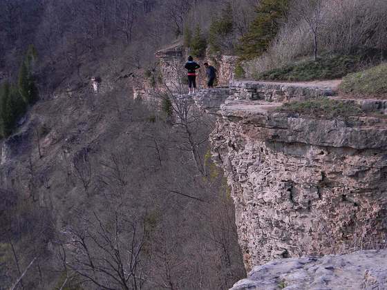
Photo: “Great Falls of the Potomac River - NPS.jpg” by US National Park Service, Public domain, via Wikimedia Commons (resized).