Trails › North America › United States
North Country Trail
7-day forecast
Open-Meteo · trail point · local dates · last updated Nov 11, 2026, 3:10 PM PTWed 11
Drizzle
12°C / 0°C
56% · 0.7 mm
Wind 12 km/h
FairThu 12
Light drizzle
7°C / -0°C
61% · 2.0 mm
Wind 26 km/h
FairFri 13
Overcast
6°C / -0°C
6% · 0.0 mm
Wind 20 km/h
GoodSat 14
Overcast
7°C / -0°C
7% · 0.0 mm
Wind 14 km/h
GoodSun 15
Overcast
6°C / -1°C
0% · 0.0 mm
Wind 13 km/h
GoodMon 16
Clear sky
8°C / -1°C
0% · 0.0 mm
Wind 7 km/h
GoodTue 17
Clear sky
10°C / -0°C
0% · 0.0 mm
Wind 12 km/h
GoodRoute
No route line in this build. No OpenStreetMap route relation is linked for this trail.
About this trail
The North Country Trail is a long-distance hiking trail in the Midwestern and Northeastern United States. The trail extends roughly 4,800 miles (7,700 km) from Lake Sakakawea State Park in North Dakota to the Appalachian Trail in Green Mountain National Forest in Vermont, passing through eight states along its route. As of 2023, most of the trail is in place, though about one-third of the distance consists of road walking; those segments are frequently evaluated for transfer to off-road segments on nearby public or private lands.
From the Wikipedia article “North Country Trail”, CC BY-SA 4.0.
Trail facts
- Length
- 7,403 km · 4,600 mi (Wikidata)
- Countries
- United States
- Continent
- North America
- Trail point
- 42.93450, -85.33780 (Wikidata coordinate)
- Wikidata
- Q14716246
- Official info
- nps.gov/noco/index.htm
Hiked it?
Log this hikeAdd a GPX file for the Verified Track badge. The first and last 500 m are trimmed off before anything is measured, and the file itself is not kept.
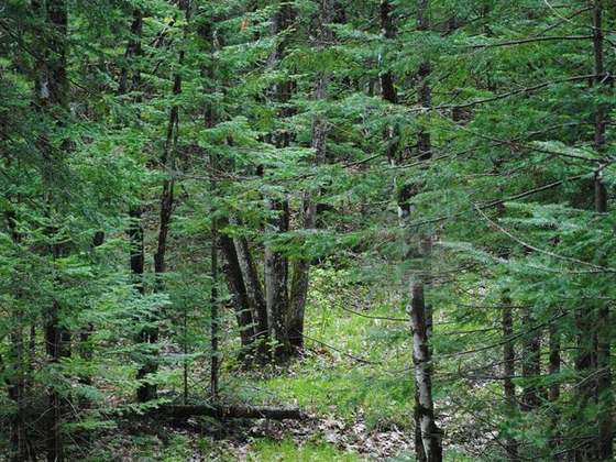
Photo: “NCT Huron-Manistee 1.jpg” by Huron-Manistee National Forests, Public domain, via Wikimedia Commons (resized).