Trails › North America › United States
East Longs Peak Trail – Longs Peak Trail – Keyhole Route – Shelf Trail
7-day forecast
Open-Meteo · trail point · local dates · last updated Nov 11, 2026, 3:10 PM PTWed 11
Clear sky
2°C / -4°C
0% · 0.0 mm
Wind 43 km/h
GoodThu 12
Overcast
2°C / -4°C
0% · 0.0 mm
Wind 22 km/h
GoodFri 13
Overcast
6°C / -4°C
0% · 0.0 mm
Wind 33 km/h
GoodSat 14
Overcast
2°C / -7°C
42% · 0.0 mm
Wind 14 km/h
FairSun 15
Overcast
2°C / -8°C
28% · 0.0 mm
Wind 13 km/h
GoodMon 16
Overcast
6°C / -7°C
0% · 0.0 mm
Wind 14 km/h
GoodTue 17
Clear sky
6°C / -5°C
27% · 0.0 mm
Wind 14 km/h
GoodRoute
Route line © OpenStreetMap contributors (ODbL), simplified. Dot: trail point.
About this trail
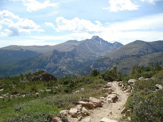
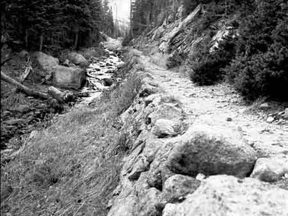
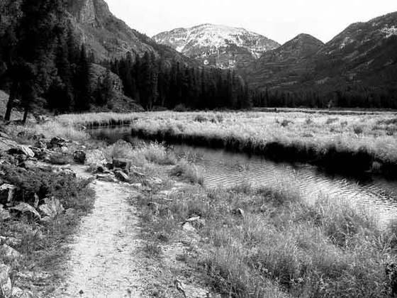
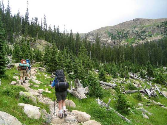
The East Longs Peak Trail, Longs Peak Trail, Keyhole Route or Shelf Trail in Rocky Mountain National Park is listed on the National Register of Historic Places for its significance in the early recreational development of the park. The trail was laid out in 1878 by Reverend Elkanah Lamb, long before the designation of the region as parkland. It was extended in 1910 by Enos Mills. The trail leads from the Tahosa Valley, running counterclockwise around Longs Peak and reaching the summit at 14,259 feet.
From the Wikipedia article “East Longs Peak Trail”, CC BY-SA 4.0.
Trail facts
- Countries
- United States
- Continent
- North America
- Trail point
- 40.27220, -105.60100 (Wikidata coordinate)
- OSM network
- Regional walking network
- Wikidata
- Q5328875
- OpenStreetMap
- relation 6747615
Hiked it?
Log this hikeAdd a GPX file for the Verified Track badge. The first and last 500 m are trimmed off before anything is measured, and the file itself is not kept.
Photo: “Keyhole.jpg” by Benwildeboer at en.wikipedia, CC BY-SA 3.0, via Wikimedia Commons (resized).