Trails › North America › United States
Fern Lake Trail
7-day forecast
Open-Meteo · trail point · local dates · last updated Nov 11, 2026, 3:10 PM PTWed 11
Overcast
13°C / 1°C
0% · 0.0 mm
Wind 30 km/h
GoodThu 12
Overcast
12°C / 4°C
0% · 0.0 mm
Wind 14 km/h
GoodFri 13
Overcast
13°C / 3°C
0% · 0.0 mm
Wind 15 km/h
GoodSat 14
Overcast
9°C / 0°C
41% · 0.0 mm
Wind 14 km/h
FairSun 15
Overcast
10°C / -1°C
31% · 0.0 mm
Wind 13 km/h
FairMon 16
Overcast
14°C / 0°C
0% · 0.0 mm
Wind 15 km/h
GoodTue 17
Mainly clear
14°C / 2°C
28% · 0.0 mm
Wind 15 km/h
GoodRoute
Route line © OpenStreetMap contributors (ODbL), simplified. Dot: trail point.
About this trail
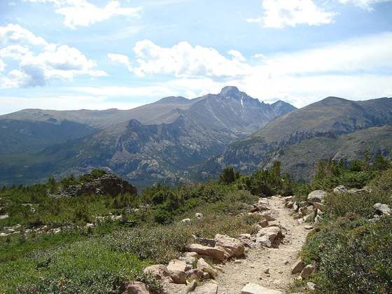
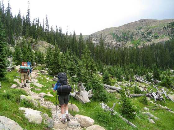
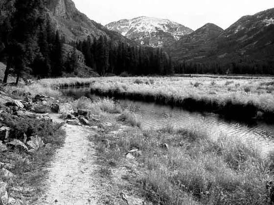
The Fern Lake Trail in Rocky Mountain National Park, Colorado, runs 4.8 miles (7.7 km) from Moraine Park in the eastern part of the park westward to Fern Lake, the first portion of the trail following the course of the Big Thompson River. The trail was first informally established in the late 1880s as a way to get to "The Pool," a wide spot in the Big Thompson where a small lodge predated the 1915 establishment of the park. The trail was improved by the Estes Park Protective and Improvement Association between 1907 and 1912, with a new bridge at The Pool. Two years later the trail was rebuilt to maintain no more than a 10% grade and to provide better access to Fern and Marguerite Falls. In the 1920s Fern Lake became a popular winter destination for skiing, complete with a lodge. From 1933 the trail was rebuilt over three years with Civilian Conservation Corps labor, building retaining walls and adjusting the trail's alignment.
From the Wikipedia article “Fern Lake Trail”, CC BY-SA 4.0.
Trail facts
- Countries
- United States
- Continent
- North America
- Trail point
- 40.35492, -105.63028 (Wikidata coordinate)
- OSM network
- Regional walking network
- Wikidata
- Q5444464
- OpenStreetMap
- relation 6747574
Hiked it?
Log this hikeAdd a GPX file for the Verified Track badge. The first and last 500 m are trimmed off before anything is measured, and the file itself is not kept.
Photo: “Fern Lake Trail.jpg” by Unknown authorUnknown author, Public domain, via Wikimedia Commons (resized).