Trails › North America › United States
Flattop Mountain Trail
7-day forecast
Open-Meteo · trail point · local dates · last updated Nov 11, 2026, 3:10 PM PTWed 11
Partly cloudy
2°C / -7°C
0% · 0.0 mm
Wind 37 km/h
GoodThu 12
Overcast
4°C / -4°C
0% · 0.0 mm
Wind 21 km/h
GoodFri 13
Overcast
6°C / -4°C
0% · 0.0 mm
Wind 27 km/h
GoodSat 14
Overcast
2°C / -7°C
47% · 0.0 mm
Wind 11 km/h
FairSun 15
Overcast
2°C / -8°C
40% · 0.0 mm
Wind 9 km/h
FairMon 16
Overcast
7°C / -7°C
0% · 0.0 mm
Wind 10 km/h
GoodTue 17
Mainly clear
6°C / -5°C
29% · 0.0 mm
Wind 10 km/h
GoodRoute
Route line © OpenStreetMap contributors (ODbL), simplified. Dot: trail point.
About this trail
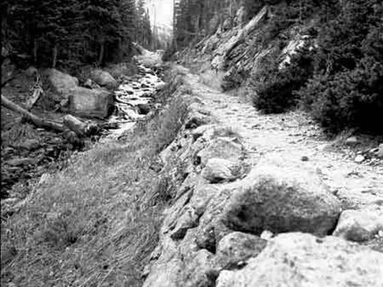
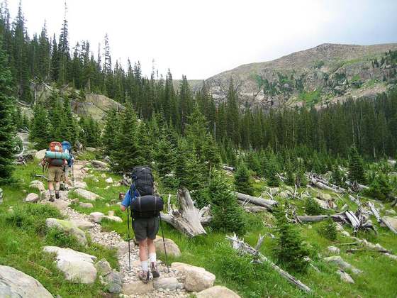
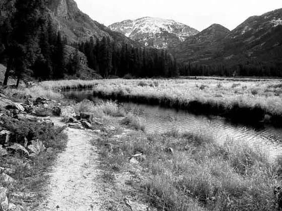
The Flattop Mountain Trail, also known as the Grand Trail or the Big Trail, was built in 1925 in Rocky Mountain National Park in the Larimer County portion of the U.S. state of Colorado. Built in 1925, and rehabilitated in 1940 with Civilian Conservation Corps labor, it is listed on the National Register of Historic Places. The trail begins at 9500 feet of elevation at Bear Lake and climbs Flattop Mountain to a maximum elevation of 12,324 feet on the Continental Divide.
From the Wikipedia article “Flattop Mountain Trail”, CC BY-SA 4.0.
Trail facts
- Countries
- United States
- Continent
- North America
- Trail point
- 40.31387, -105.67834 (Wikidata coordinate)
- OSM network
- Regional walking network
- Wikidata
- Q5457995
- OpenStreetMap
- relation 6747572
Hiked it?
Log this hikeAdd a GPX file for the Verified Track badge. The first and last 500 m are trimmed off before anything is measured, and the file itself is not kept.
Photo: “Longs Peak from Flattop Mountains Trail.jpg” by Pimlico27, CC BY-SA 4.0, via Wikimedia Commons (resized).