7-day forecast
Open-Meteo · trail point · local dates · last updated Nov 11, 2026, 3:10 PM PTThu 12
Drizzle
7°C / 2°C
100% · 3.8 mm
Wind 21 km/h
PoorFri 13
Light drizzle
6°C / 1°C
4% · 0.8 mm
Wind 20 km/h
FairSat 14
Light drizzle
10°C / 3°C
31% · 2.2 mm
Wind 15 km/h
FairSun 15
Rain
9°C / 3°C
100% · 20.4 mm
Wind 32 km/h
PoorMon 16
Rain showers
7°C / -2°C
86% · 9.0 mm
Wind 15 km/h
PoorTue 17
Light rain
4°C / -2°C
84% · 11.8 mm
Wind 21 km/h
PoorWed 18
Light rain
5°C / -1°C
82% · 11.6 mm
Wind 16 km/h
PoorRoute
Route line © OpenStreetMap contributors (ODbL), simplified. Dot: trail point.
About this trail
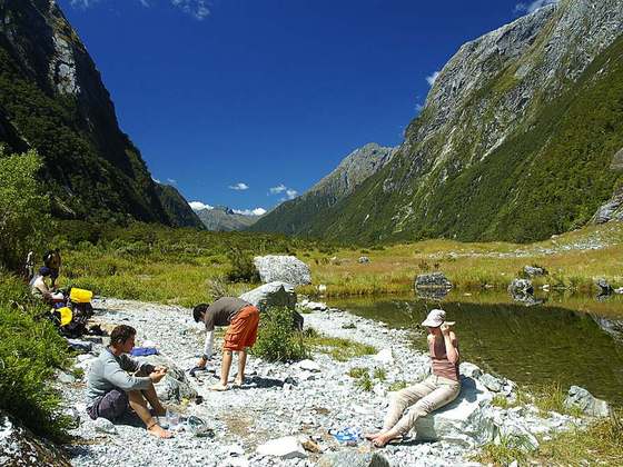
The Kepler Track is a 60 km (37 mi) circular hiking track which travels through the landscape of the South Island of New Zealand and is situated near the town of Te Anau. The track passes through many landscapes of the Fiordland National Park such as rocky mountain ridges, tall mossy forests, lake shores, deep gorges, rare wetlands, tussock grasslands, and rivers. Like the mountains it traverses, the track is named after Johannes Kepler. The track is one of the New Zealand Great Walks and is administered by the Department of Conservation (DOC).
From the Wikipedia article “Kepler Track”, CC BY-SA 4.0.
Trail facts
- Length
- 60 km · 37 mi (Wikidata)
- Countries
- New Zealand
- Continent
- Oceania
- Trail point
- -45.42417, 167.51250 (Wikidata coordinate)
- OSM network
- National walking network
- Operator (OSM)
- Department of Conservation
- Wikidata
- Q846931
- OpenStreetMap
- relation 1385141
- Official info
- doc.govt.nz/parks-and-recreation/places-to-go/fi
Hiked it?
Log this hikeAdd a GPX file for the Verified Track badge. The first and last 500 m are trimmed off before anything is measured, and the file itself is not kept.
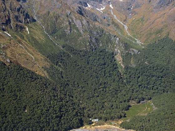
Photo: “Kepler track alpine ridgeline.jpg” by Nomad Tales, CC BY 2.1 au, via Wikimedia Commons (resized).