7-day forecast
Open-Meteo · trail point · local dates · last updated Nov 11, 2026, 3:10 PM PTThu 12
Light drizzle
15°C / 8°C
51% · 0.6 mm
Wind 10 km/h
FairFri 13
Fog
14°C / 5°C
0% · 0.0 mm
Wind 8 km/h
GoodSat 14
Fog
18°C / 4°C
4% · 0.0 mm
Wind 10 km/h
GoodSun 15
Rain
14°C / 10°C
100% · 26.9 mm
Wind 15 km/h
PoorMon 16
Rain showers
12°C / 4°C
79% · 12.3 mm
Wind 7 km/h
PoorTue 17
Light drizzle
10°C / 2°C
47% · 0.6 mm
Wind 10 km/h
FairWed 18
Rain showers
13°C / 4°C
73% · 10.2 mm
Wind 9 km/h
PoorRoute
Route line © OpenStreetMap contributors (ODbL), simplified. Dot: trail point.
About this trail
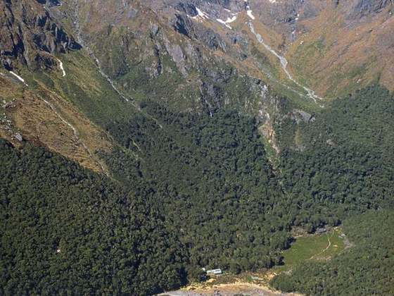
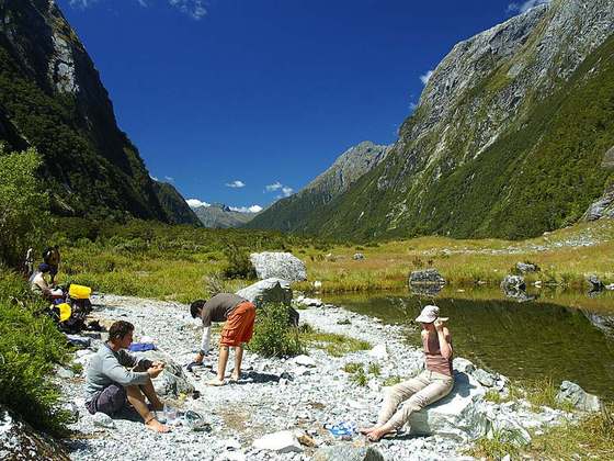
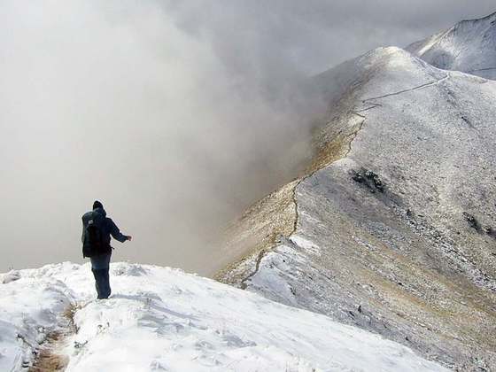
The Rees and Dart Tracks form a tramping (hiking) 63 kilometres (39 mi) circuit which is located in the South Island of New Zealand. The trailheads are far apart requiring transport planning in order to tramp or run the track. The track allows access to the Cascade Saddle Track in which one can see the Dart Glacier and allows access to the Matukituki Valley.
From the Wikipedia article “Rees and Dart Tracks”, CC BY-SA 4.0.
Trail facts
- Countries
- New Zealand
- Continent
- Oceania
- Trail point
- -44.63919, 168.46819 (OpenStreetMap route (first mapped point))
- OSM network
- Regional walking network
- Wikidata
- Q14230840
- OpenStreetMap
- relation 19470095
- Official info
- doc.govt.nz/parks-and-recreation/places-to-go/ot
Hiked it?
Log this hikeAdd a GPX file for the Verified Track badge. The first and last 500 m are trimmed off before anything is measured, and the file itself is not kept.