Trails › North America › United States
Appalachian Trail
7-day forecast
Open-Meteo · trail point · local dates · last updated Nov 11, 2026, 3:10 PM PTWed 11
Overcast
18°C / 7°C
0% · 0.0 mm
Wind 11 km/h
GoodThu 12
Light drizzle
11°C / 2°C
46% · 1.5 mm
Wind 24 km/h
FairFri 13
Light snow
3°C / 1°C
7% · 0.4 mm
Wind 27 km/h
FairSat 14
Overcast
2°C / -2°C
3% · 0.0 mm
Wind 20 km/h
GoodSun 15
Overcast
6°C / -4°C
0% · 0.0 mm
Wind 15 km/h
GoodMon 16
Overcast
9°C / -3°C
2% · 0.0 mm
Wind 4 km/h
GoodTue 17
Mainly clear
10°C / -2°C
2% · 0.0 mm
Wind 7 km/h
GoodRoute
No route line in this build. This is a very long route, so only its start point is used.
About this trail
The Appalachian Trail, also called the A.T., is a hiking trail in the Eastern United States, extending almost 2,200 miles (3,540 km) between Springer Mountain in Georgia and Mount Katahdin in Maine, and passing through 14 states. The Appalachian Trail Conservancy claims the Appalachian Trail to be the world's longest hiking-only trail. More than three million people hike segments of it each year.
From the Wikipedia article “Appalachian Trail”, CC BY-SA 4.0.
Trail facts
- Length
- 3,538 km · 2,198 mi (Wikidata)
- Countries
- United States
- Continent
- North America
- Trail point
- 37.35175, -80.38108 (Wikidata coordinate)
- Wikidata
- Q620648
- OpenStreetMap
- relation 156553
- Official info
- nps.gov/appa
Hiked it?
Log this hikeAdd a GPX file for the Verified Track badge. The first and last 500 m are trimmed off before anything is measured, and the file itself is not kept.
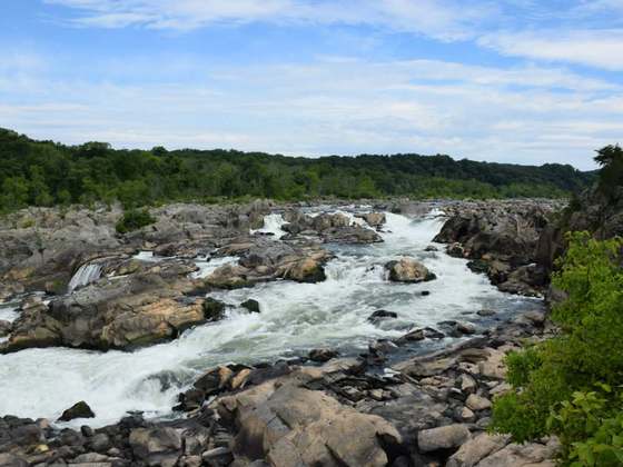
Photo: “AT - Franconia Ridge.JPG” by Paulba. Original uploader was Paulbalegend at en.wikipedia, CC BY-SA 3.0, via Wikimedia Commons (resized).