Trails › North America › United States
Natchez Trace Trail
7-day forecast
Open-Meteo · trail point · local dates · last updated Nov 11, 2026, 3:10 PM PTWed 11
Overcast
22°C / 6°C
24% · 0.0 mm
Wind 16 km/h
GoodThu 12
Light drizzle
16°C / 4°C
20% · 0.4 mm
Wind 20 km/h
FairFri 13
Overcast
11°C / 1°C
0% · 0.0 mm
Wind 16 km/h
GoodSat 14
Partly cloudy
12°C / 0°C
0% · 0.0 mm
Wind 8 km/h
GoodSun 15
Overcast
12°C / 2°C
8% · 0.0 mm
Wind 12 km/h
GoodMon 16
Overcast
15°C / 4°C
16% · 0.0 mm
Wind 12 km/h
GoodTue 17
Mainly clear
16°C / 3°C
15% · 0.0 mm
Wind 9 km/h
GoodRoute
No route line in this build. No OpenStreetMap route relation is linked for this trail.
About this trail
The Natchez Trace Trail is a designated National Scenic Trail in the United States, whose route generally follows sections of the 444-mile (715 km) Natchez Trace Parkway through the states of Tennessee, Alabama, and Mississippi. The Natchez Trace Trail is not a long, continuous footpath, as is the case with other national scenic trails ; rather, only a limited number of trail segments along the route, currently over 60 miles (97 km) of trail, have been developed for hiking and horseback riding. Moreover, the Natchez Trace Trail, unlike many others that rely heavily on volunteers for trail construction and maintenance, is managed and maintained by the National Park Service. Sections of the trail follow along the Natchez Trace Parkway road shoulder, and cross county and state roads. It was originally intended to be longer and follow most of the Natchez Trace Parkway, but only a portion was built.
From the Wikipedia article “Natchez Trace Trail”, CC BY-SA 4.0.
Trail facts
- Countries
- United States
- Continent
- North America
- Trail point
- 34.66772, -88.08831 (Wikidata coordinate)
- Wikidata
- Q6968567
- Official info
- nps.gov/natt/index.htm
Hiked it?
Log this hikeAdd a GPX file for the Verified Track badge. The first and last 500 m are trimmed off before anything is measured, and the file itself is not kept.
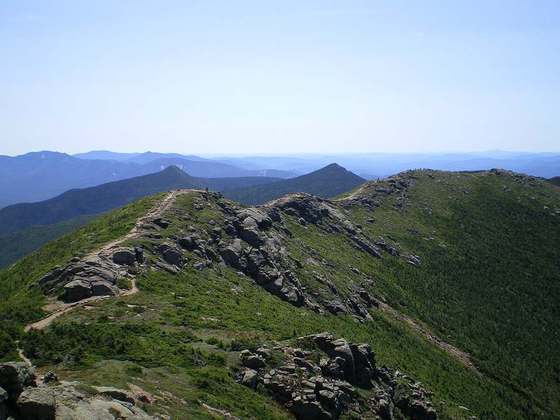
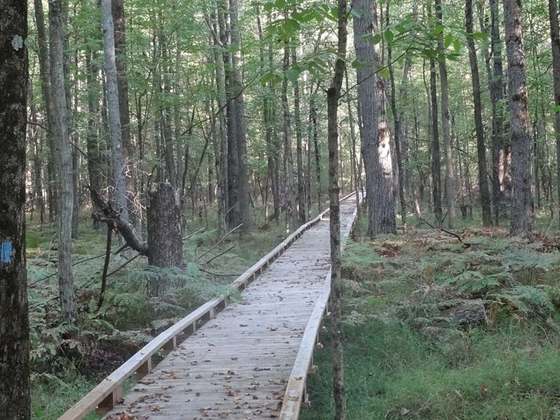
Photo: “Natchez Trace Trail.jpg” by Brent Moore from Smyrna, TN, CC BY 2.0, via Wikimedia Commons (resized).