Trails › North America › United States
Ice Age Trail
7-day forecast
Open-Meteo · trail point · local dates · last updated Nov 11, 2026, 3:10 PM PTWed 11
Overcast
13°C / 2°C
39% · 0.0 mm
Wind 16 km/h
FairThu 12
Overcast
4°C / 1°C
1% · 0.0 mm
Wind 28 km/h
GoodFri 13
Overcast
4°C / -3°C
1% · 0.0 mm
Wind 23 km/h
GoodSat 14
Overcast
5°C / -4°C
0% · 0.0 mm
Wind 13 km/h
GoodSun 15
Clear sky
7°C / -2°C
0% · 0.0 mm
Wind 7 km/h
GoodMon 16
Mainly clear
8°C / -2°C
0% · 0.0 mm
Wind 13 km/h
GoodTue 17
Overcast
10°C / -1°C
0% · 0.0 mm
Wind 18 km/h
GoodRoute
No route line in this build. This is a very long route, so only its start point is used.
About this trail
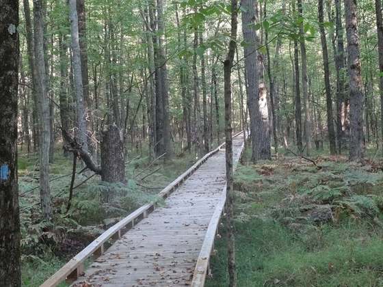
The Ice Age Trail is a National Scenic Trail winding 1,200 miles (1,900 km) through the state of Wisconsin in the United States. The trail is administered by the National Park Service, and is constructed and maintained by private and public agencies including the Ice Age Trail Alliance, a non-profit and member volunteer-based organization with local chapters. It became an official unit of the National Park System in 2023.
From the Wikipedia article “Ice Age Trail”, CC BY-SA 4.0.
Trail facts
- Length
- 1,931 km · 1,200 mi (Wikidata)
- Countries
- United States
- Continent
- North America
- Trail point
- 43.43383, -89.72247 (Wikidata coordinate)
- Wikidata
- Q5985189
- OpenStreetMap
- relation 2381423
- Official info
- nps.gov/iatr/index.htm
Hiked it?
Log this hikeAdd a GPX file for the Verified Track badge. The first and last 500 m are trimmed off before anything is measured, and the file itself is not kept.
Photo: “IATWoodLake.jpg” by MDuchek, CC BY-SA 3.0, via Wikimedia Commons (resized).