7-day forecast
Open-Meteo · trail point · local dates · last updated Nov 11, 2026, 3:10 PM PTThu 12
Drizzle
14°C / 9°C
100% · 2.7 mm
Wind 39 km/h
PoorFri 13
Drizzle
13°C / 9°C
94% · 2.1 mm
Wind 34 km/h
PoorSat 14
Drizzle
16°C / 11°C
86% · 4.1 mm
Wind 31 km/h
PoorSun 15
Light drizzle
17°C / 12°C
82% · 1.5 mm
Wind 45 km/h
PoorMon 16
Rain showers
12°C / 7°C
98% · 9.3 mm
Wind 30 km/h
PoorTue 17
Drizzle
13°C / 8°C
90% · 8.0 mm
Wind 37 km/h
PoorWed 18
Drizzle
10°C / 8°C
78% · 4.6 mm
Wind 37 km/h
PoorRoute
Route line © OpenStreetMap contributors (ODbL), simplified. Dot: trail point.
About this trail
The Rakiura Track is a 32-kilometre (20 mi) circular tramping track in Rakiura National Park on Stewart Island in New Zealand. It is one of the New Zealand Great Walks. Hikers often take three days to walk it, but it can be done in one or two days.
From the Wikipedia article “Rakiura Track”, CC BY-SA 4.0.
Trail facts
- Countries
- New Zealand
- Continent
- Oceania
- Trail point
- -46.86289, 168.12344 (Wikidata coordinate)
- OSM network
- National walking network
- Operator (OSM)
- Department of Conservation
- Wikidata
- Q2129081
- OpenStreetMap
- relation 1385146
- Official info
- doc.govt.nz/parks-and-recreation/places-to-go/so
Hiked it?
Log this hikeAdd a GPX file for the Verified Track badge. The first and last 500 m are trimmed off before anything is measured, and the file itself is not kept.
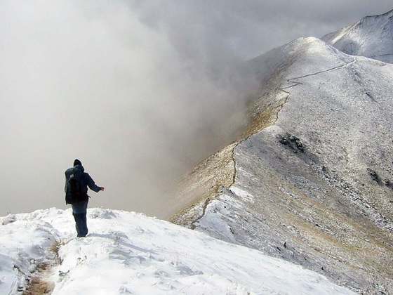
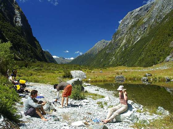
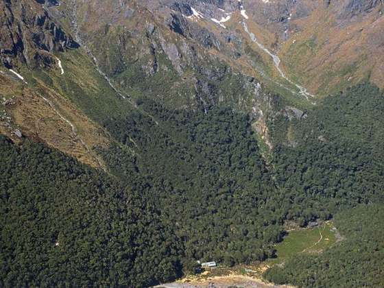
Photo: “Rakiura Track Stewart Island NZ 01.jpg” by Ingolfson at English Wikipedia (Original text: Uploader.), Public domain, via Wikimedia Commons (resized).